Morgan Hill State Forest - Shackham Brook to Hemlock Lean-to
Earlier this year, I blogged two of my hikes in Morgan Hill State Forest, a large area of mostly forested hills southeast of the Syracuse metro area and the small village of Tully, NY. My last outing here ended at where the Onondaga Trail crossed Shackham Road and reached a beautiful wooden bridge over scenic Shackham Brook, and I promised to return to that spot and continue hiking beyond, further southward on that blue-blazed pathway. So in late November, the weekend before Thanksgiving where unexpected clear skies came about, I took the drive out to Shackham Road and picked up the trail head with the goal in mind to reach at least dirt Morgan Hill Road, 1.55 miles one way from the starting point. I got a late start for this 3.1 mile out-and-back hike and, on top of that, I was faced with earlier sunset time because of the shrinking daylight. But it still turned out to be a great chilly fall day spent in the woods.
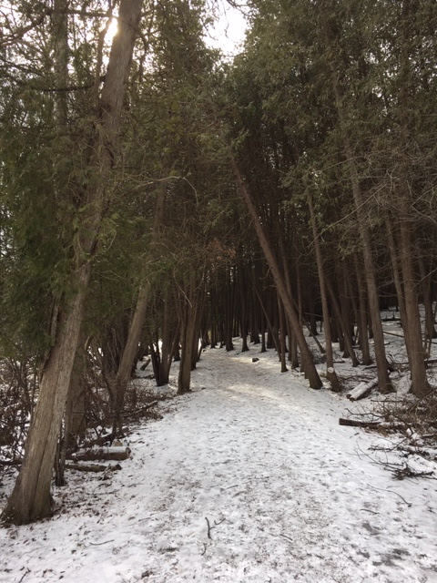
Although much of the autumn color was gone, the scenery did not disappoint. As you can see, there was a light coating of snow on the ground in these upper elevations, possibly from a flurry the night before. I reached lovely Shackham Brook, whose waters were running fast on this afternoon. I crossed the bridge (pictured below) and took the Onondaga Trail south along the steep sides of the stream that has cut into the limestone ground.
After a gentle uphill climb, the trail turned sharply to the right (eastward), now following a tributary of Shackham Brook. Not far ahead, I reached this spectacular "hanging" waterfall, one of several smaller waterfalls that make up what is named Hemlock Glen.
Just past the falls, one of those Wegmans Passport signposts was very visible along the trail. It turns out this is one of those walks recommended for families.
Next came a steeper ascent through tall hemlocks and great views to the creek far below.
Approximately eight tenths of a mile into the woods I came upon the popular-with-local-campers Hemlock lean-to.
At the bottom of the hill which the lean-to sits atop, the trail journeys further, crossing that same creek, but what's at the other side is what drew me to keep going.
At an elevation of around 1700 feet above sea level, the Onondaga Trail traverses the top of the next hill which is, in fact, Morgan Hill - the namesake of this forest - and the late fall/winter views through the trees are absolutely worth seeing!
The last segment before I turned back around and retraced my steps took me through a pine forest on flatter lands and, lastly, the junction with unpaved Morgan Hill Road, also used by people who snowmobile.
This 40-mile branch of the Finger Lakes Trail continues east along Morgan Hill's range through a forest of older white pines. Then I took a break in the crisp November air and proceeded to hike the 1.55 miles in the opposite direction back to my car.
This was a fun hike, roughly two hours in length in a place I always love visiting. A section named Chickadee Hollow adjoins the stretch of trail where I stopped, according to maps. That may be a destination of mine in the future if I intend to see more of the Onondaga Trail.


Comments
Post a Comment