Otselic State Forest
Last summer, I detailed a great hike in an area named Pharsalia Wildlife Management Area, tucked away in a corner of rural Chenango County. Essentially in the heart of Central New York's rolling, glacially-carved, bucolic countryside, Chenango County also happens to be the home of a magnificent 70-mile or so stretch of the Finger Lakes Trail (FLT), passing through 32 state forests. Most of this I have yet to explore, so this region is somewhat of a hiking "frontier" for me, having only reached the deep gorge-like banks of Canasawacta Creek in the summer of 2019 in my furthest east venture on the FLT.
So now that summer is closing and fall is close at hand, the weather is cooling and drying a bit (although it has been a remarkably rain-free, hot summer). I decided to tackle a part of the trail that I've only seen once - in early winter a few years back - and recall it being rugged with more than a few hills to hike. I was looking for a moderate challenge, so to speak, so I chose Otselic Forest, which also happens to border Pharsalia WMA. I brought my family's new dog, and she has thoroughly been enjoying these longer walks.
5 miles of the FLT winds through Otselic State Forest - the highest point of which is 1955 feet above sea level. My turn-around spot was at the Winston Braxton Memorial Bench (built in the 1980s) shortly before the trail crosses the highest point. There are no clear-cut views here, unfortunately, although I may need to return when the leaves are down as there are views of distant hills at that time of year. This was a secluded woodland hike, interspersed with beautiful open fields on private lands.
I started my hike at a good, off-road parking area where the FLT crosses NYS Route 26 just past the small hamlet of Otselic. There were views of the towering, sloping hills all around, and a bed of late-summer goldenrod before me.
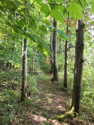
Once on the trail, I followed the white-blazes uphill, following the actual Otselic River into a steep, old forest that was immediately enchanting.
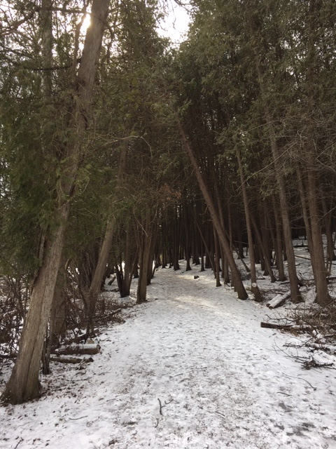
Reaching the top of Truman Hill at about 1740 feet above sea level, I soon crossed a dirt truck trail which served to separate the first hemlock and black cherry dominant woods into a much more mixed deciduous landscape. Down the path and to the right bordered a private field of wild grasses, young spruces, and a delightful opening for sunlight.
Not terribly far ahead, the FLT banked abruptly to the left (which I almost missed completely!). More fields with superior views of other hills came into view. I was now walking under the conifers, past flooded grounds, giant ferns, and well-built footbridges.
Now making a southward turn, the trail wound around the beaver flooded land, giving me the golden opportunity for more photos and views.
At about nearly 2 miles into this hike, I traversed a very hilly section reminiscent of some areas more west toward the Finger Lakes. It was at this point where the trail crossed dirt Raider Hill Road, and thanks to some private landowners, allowed hikers to cross a corridor of woods not part of the state forest. Grateful for that gesture.


Comments
Post a Comment