Cuyler Hill State Forest - Potter Hill to Wiltsey Glen
Early in the summer of 2019, I set out to hike a segment of the Finger Lakes Trail through Taylor Valley State Forest of northern/central Cortland County. That hike through mainly deep woods brought me to the edges of the adjoining Cuyler Hill State Forest which, as it turns out, is a "link" between Taylor Valley and Mariposa State Forest, a place written about in this very blog several times before. As I get more familiar with this corner of Central New York and the FLT, I am appreciating its relative remoteness and beauty more each time I pass through. At this point, I still haven't ventured beyond Pharsalia Woods of Chenango County, so I've been using this time to thoroughly explore these foothills that make up the knobby terrain east of Interstate 81.
This particular hike started where the FLT crosses paved Chenango-Solon Pond Road a few miles past the small rural hamlets of Tully and Truxton. I was able to find decent parking on the shoulder of dirt Freeman Road which seemed the safer choice as space along Chanango-Solon Pond Road was nonexistent and any attempt to park there ill-advised. It was around 10:30 am by the time I started at the trail head on what was a beautiful, cool October fall morning. I was hoping to get some pictures of foliage in this area, as well, so timing with the sun out was everything.
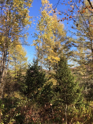
Above is pictured dirt Freeman Road which the FLT briefly joined as it headed east across private land that is also a hunt club. As always, being able to hike on these private lands is much appreciated. There were some colors, mainly yellows, among the evergreens that are beginning to stand out more. Heading toward hills, it became apparent that this would be a terrific spot for some views.
I recalled this stretch of the trail from my last visit here a little more than a year earlier, so it wasn't completely new territory. But I hadn't yet seen it in the autumn, so that in itself added some novelty to this first part of the hike.
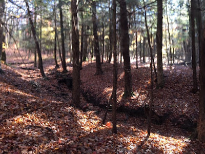
Treading uphill came fast here, and it seemed a bit more difficult than expected, perhaps because of wet fallen leaves underneath me and some irregular rocks sticking out of the ground. This made the ascent up Potter Hill (elevation 1980 feet) which was blanketed in interspersed forests of hemlocks and sugar maples.
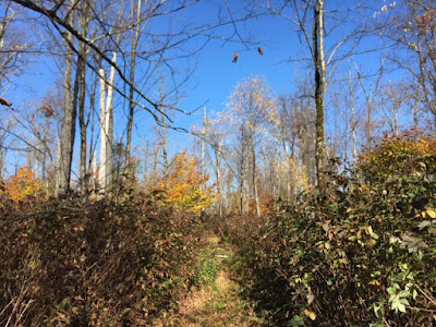
What came next was a delightful, sunny clearing, almost perfectly round in shape and the same one I encountered on my Taylor Valley hike.
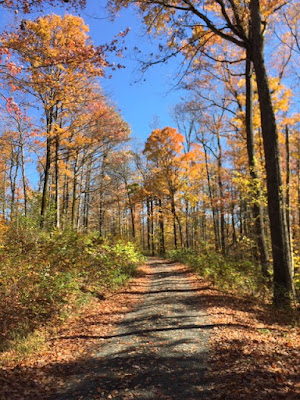
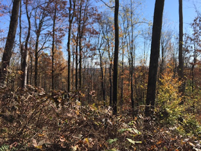
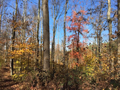
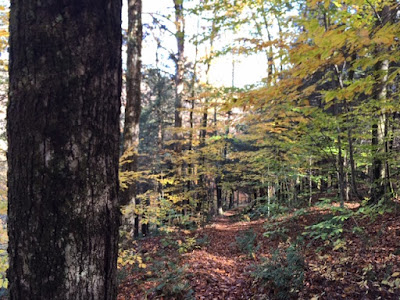
Past the open area, the path came into a thicker forest of mainly maples, black cherries, and some oaks where the color was quite appealing.
I initially planned to hike past Wiltsey Glen and explore more Cuyler Hill Forest, but it took me longer to get to the glen than I thought. It was still a great hike, nonetheless. All totaled, the hike was 7.6 miles long and took me just over four hours to complete. The overall elevation gain was 383 feet.















Comments
Post a Comment