Robert Treman State Park - Finger Lakes Trail Segment
It turns out this happens to be the lowest elevation of the entire FLT in its crossing of the state, which I found interesting in itself. At its lowest point through the park, the trail is at 437 above sea level. There would be some decent elevation change throughout this hike, as I would learn, yet nothing too rigorous.
My goal was to reach a beautiful overlook, clear of trees, not far past where the Rim Trail terminates. Although I wouldn't see any of the park's famous waterfalls on this hike (although I could hear some of them through the trees), I still managed to successfully venture to the overlook that, again, many people do not hike toward.
The day of my hike was sunny and unseasonably warm for early March in Central New York, but it was quite windy, especially as the afternoon wore on. I was careful to keep an eye on the breeze swaying trees for any branches about to break and fall. I started my hike at the campground parking area on the southern side of the park's entrance which, fortunately for me, wasn't closed. After an irritating trek across a park road that was covered in thick ice and melting snow, I, at last, reached the spot where the FLT intersected. I made a rather sharp turn to the right on the footpath and started heading due west, the vehicular traffic of State Route 13 not far behind me. The further I went into the woods, the less the sounds of cars and trucks carried across the trees.
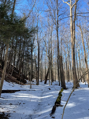
As can be seen from the pictures above, there was still some old snow pack on this first part of the trail. The next segment took me uphill and out of this hollow for my first climb of the hike.
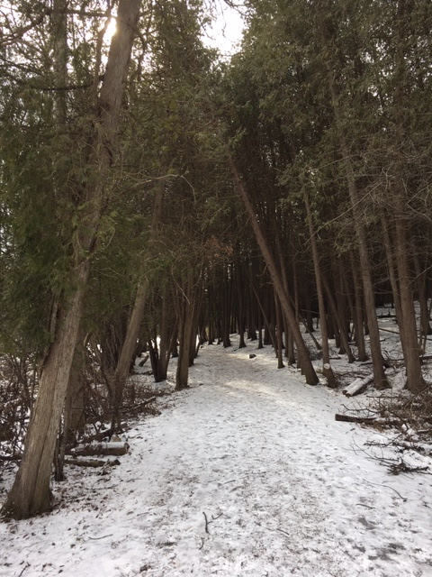
 All of the sudden the knobby forest floor was free of snow and the walking a shade easier. The trail became more level here, as well, entering a forest of red pines with some tall, mature hemlocks mixed in. A junction with a wider, unpaved park road, followed by a pleasant stretch of pines:
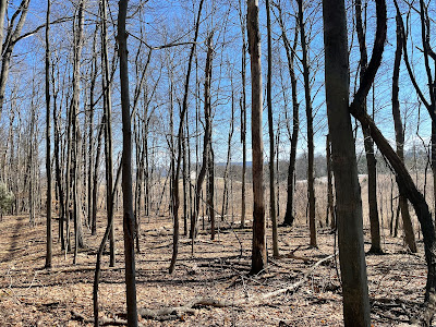
 The first views of this hike could now be enjoyed through the trees. Distant hills and some open country fields on private land made this first half mile or so of the hiking just a little more enticing, and also hinting at what is to come.
I was, without a doubt, grateful of the warm sunshine, taking into consideration the time of year as I passed by those open views of Finger Lakes hill country. Beyond this corner of the park, the FLT traversed an entirely different appearing section with sycamores and some other trees entwined in vines. This also happened to be the location of the Sierra Shelter (almost a miniature lean-to).
As the trail continued westward, essentially running parallel with the Rim Trail, it ascended and snaked around some small hills while gradually gaining elevation. A peculiar old stone structure, likely built for the park when it first opened many decades ago, caught my eye.
What followed was a considerably steep yet still relatively gradual ascent. I was nearly 300 feet more above sea level by the time I would reach the next series of views.
Something about the second viewpoint of this hike I found absolutely splendid! The high sunshine, the faraway hills beyond the valley where a number of private farms and homes dwell , the drier scrubby and pine-dotted opening below . . .
Stopping to rest was a must at this point. The trail here continued unabated in its bending and peeking into these less traveled crevices of the park.
I feel I owe a shout-out to the Cayuga Trails Club, based out of Ithaca, NY, for doing such an excellent job maintaining this part of the trail and many more miles of the FLT throughout Tompkins County. Past the second crop of views, the snow pack returned, as well as some slippery creek crossings (nothing as bad as the stream crossing in Barbour Brook State Forest, but still demanding extra attention, nonetheless!).


Comments
Post a Comment