Morgan Hill State Forest - Spruce Pond Campsite to Hemlock Glen
A little over a month ago I posted a blog about my early May hike in Morgan Hill State Forest where I traversed the trails from Fellows Hill up to the top of Tinker Falls. I also promised to return and continue further along the nearly 40-mile long Onondaga Trail past the waterfalls to explore deeper into this great, 5,253 acre forest preserve within the hills southeast of Syracuse, NY. So a weekend in the middle of June awarding sunny, dry weather seemed the best time to take this on.
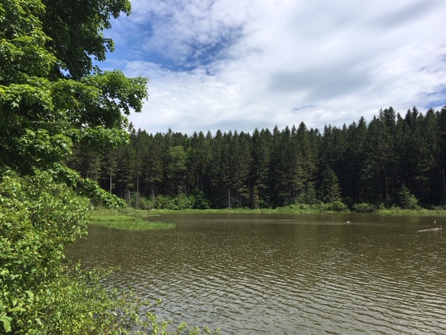
I started my hike at the Spruce Pond campsite trailhead by driving down dirt and gravel Herlihy Road a little over a quarter of a mile to where the orange-blazed Fellows Hill Trail crossed, if you recall from that previous blog. My planned hiking route took me westward along the path, passing the edge of Spruce Pond before reaching the place where the blue-blazed Onondaga Trail forked to the left up a very steep hillside. I was glad to get this more challenging part of the hike out of the way early on, meanwhile admiring the lush greens of the tall hardwoods that thrive here.
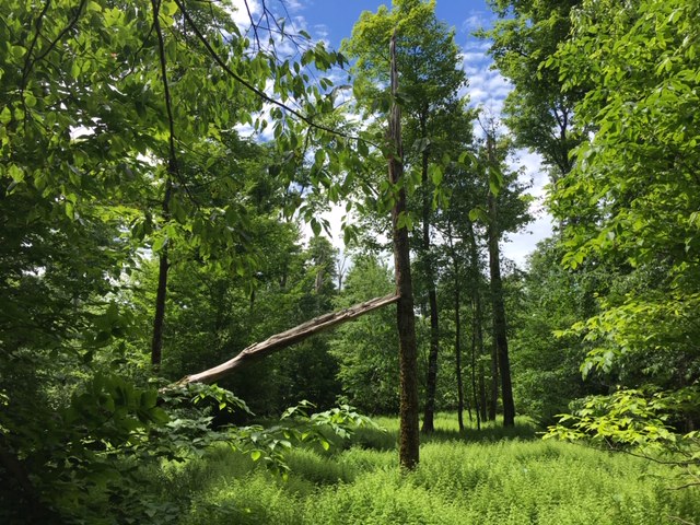
Keeping to the well-marked blue blazes on the trees, I meandered past many sugar maples, oaks, shagbark hickories, black cherries, some young spruces, and a few hemlocks. Lots of arbor variety to be found here! The crossing over private land, I was happy to discover, was much drier than it was the last time I came here, so mud was certainly not an issue. Once on the rerouted part of the trail, I walked past sprawling beds of ferns and, next, a hillier segment winding under a most pleasant forest of young beech trees.
By the time I reached these several conspicuous clearings, I knew I was close to that great panoramic view at the Jones Hill "hang gliding spot".
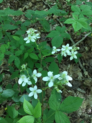
There were wildflowers of striking yellows and orange on the grassy hill clearing by the overlook:
Continuing, now heading south but still on the Onondaga Trail, the wind was picking up considerably and this was something I tried to capture in picture (note the leaves with all their "silver sides" up).
The trail, for a short time, follows this old jeep trail:
The somnolent splendor of the forest near the Tinker Falls area:
I reached Tinker Falls half past noon; there were only a few other people around, surprisingly. This spot is always incredible to visit . . .
So now I ventured further south on the trail, first having to climb wooden steps built by trail volunteers. I was now on the southern hillside of the small glen. This segment was characterized by switchbacks and a few semi-steep ascents.
The path here was fairly straight as well as more level.
This photo shows how I was hiking along the ridge of a hillside pitching far downward:
After some more hills and then a gradual decent, I passed a few groups of other hikers before, at last, reaching the trail's crossing of Shackham Road and then this sign:
Keep in mind it took me two hours to get to this point. But it was worth it because I was greeted by this beautiful stream in an area known as "Hemlock Glen". This stream is named Shackham Brook:
The Onondaga Trail continues after crossing this well-built footbridge, but this was my turn-around point.
What a way to spend a Saturday this was! Since this was an out-and-back hike, my total time was a bit over four hours after all was finished. I'm thoroughly enjoying seeing more of the Onondaga Trail with each passing time. In the coming weeks or months, I would love to explore the forests around Shackham Brook as I've read this is a popular stretch of the trail. Stay tuned . . .
I started my hike at the Spruce Pond campsite trailhead by driving down dirt and gravel Herlihy Road a little over a quarter of a mile to where the orange-blazed Fellows Hill Trail crossed, if you recall from that previous blog. My planned hiking route took me westward along the path, passing the edge of Spruce Pond before reaching the place where the blue-blazed Onondaga Trail forked to the left up a very steep hillside. I was glad to get this more challenging part of the hike out of the way early on, meanwhile admiring the lush greens of the tall hardwoods that thrive here.
Keeping to the well-marked blue blazes on the trees, I meandered past many sugar maples, oaks, shagbark hickories, black cherries, some young spruces, and a few hemlocks. Lots of arbor variety to be found here! The crossing over private land, I was happy to discover, was much drier than it was the last time I came here, so mud was certainly not an issue. Once on the rerouted part of the trail, I walked past sprawling beds of ferns and, next, a hillier segment winding under a most pleasant forest of young beech trees.
By the time I reached these several conspicuous clearings, I knew I was close to that great panoramic view at the Jones Hill "hang gliding spot".
Continuing, now heading south but still on the Onondaga Trail, the wind was picking up considerably and this was something I tried to capture in picture (note the leaves with all their "silver sides" up).
The trail, for a short time, follows this old jeep trail:
The somnolent splendor of the forest near the Tinker Falls area:
I reached Tinker Falls half past noon; there were only a few other people around, surprisingly. This spot is always incredible to visit . . .
So now I ventured further south on the trail, first having to climb wooden steps built by trail volunteers. I was now on the southern hillside of the small glen. This segment was characterized by switchbacks and a few semi-steep ascents.

A strange graffiti on this one tree - did someone try to draw an illuminati sign?
Views of the other side of the valley below to the west: The path here was fairly straight as well as more level.
This photo shows how I was hiking along the ridge of a hillside pitching far downward:
After some more hills and then a gradual decent, I passed a few groups of other hikers before, at last, reaching the trail's crossing of Shackham Road and then this sign:
Keep in mind it took me two hours to get to this point. But it was worth it because I was greeted by this beautiful stream in an area known as "Hemlock Glen". This stream is named Shackham Brook:
The Onondaga Trail continues after crossing this well-built footbridge, but this was my turn-around point.
What a way to spend a Saturday this was! Since this was an out-and-back hike, my total time was a bit over four hours after all was finished. I'm thoroughly enjoying seeing more of the Onondaga Trail with each passing time. In the coming weeks or months, I would love to explore the forests around Shackham Brook as I've read this is a popular stretch of the trail. Stay tuned . . .


Comments
Post a Comment