Shindagin Hollow State Forest - Gulf Creek Loop
One of the more beautiful portions of the long-distance Finger Lakes Trail (FLT) journeys through a place called Shindagin Hollow State Forest, 5,318 acres of mainly wooded, hilly terrain southeast of Ithaca, NY by several miles. The impressive Gulf Creek also runs through the land, having taken eons to slice a gorge through the shale within the eastern half of the forest. To be honest, I've hiked the trail quite a number of times over the last 10 years or so, and each time it's never gotten old for me, nor boring. There's just something about this particular place that draws me back again and again; perhaps the size of the hills or variety of points of interest I find along the 3-mile long eastward stretch of the FLT. It could be, too, the invigorating reward of finding hidden waterfalls deep in the woods.
Shindagin Hollow is most known in the region for its vast mountain bike trail network. Although I do not bike, I can see the appeal here because the bike paths I've come across always appear rugged and challenging enough, some even with bizarre man-made obstacles. Another feature of Shindagin Hollow is that it serves as a vital "link" between other state lands that run in a necklace shape south of the small city of Ithaca. This complex of protected lands, named the "Emerald Necklace", totals more than 50,000 acres and helps provide clean waters to both Seneca and Cayuga Lakes in the Finger Lakes region. Protected habitat (both flora and fauna) also thrive here, thankfully. The FLT runs its sinewy course through the entire necklace, connecting different places. It turns out those who live in or around Ithaca are close to many great wilderness areas that are forever protected.
The hike I'm about to detail in this blog usually takes me around 3 hours and 15 minutes to complete. I'm starting to notice incidentally, by blogging my hikes, that my average length seems to be about 3 hours, for some reason. This hike is additionally depicted as an out-and-back in most local hiking guide books, yet the way I travel it, by adding a segment of a dirt road/snowmobile trail in order to pass a wetland, transforms this into a sort of loop with a "tail". I always love to see more of an area if it's worth my extra time and energy. And there are three main roads which cross the property from north to south: Braley Hill Road (unpaved); Shindagin Hollow Road (unpaved); and South Road (paved). My hike, starting on shoulder parking on Braley Hill Road, took me eastward all the way to South Road (actually a little past for an extraordinary late spring field view - more on this later . . .). With the exception of a return leg on the snowmobile route Shindagin Hollow Road late in the outing, my entire walk was along the FLT.
It was an ideal day to be outside: full sunshine, dry air, and a gentle breeze through the trees. Summer's humidity has not yet hit Central New York, luckily. I picked up the FLT where it crossed Braley Hill Road and entered a forest carpeted with periwinkle understory. Just look at that streaming morning sun!
Through most of Tompkins County, the Finger Lakes Trail is generously maintained by volunteers of the Cayuga Trails Club, and I can't thank those people enough for their work!
Further down, I crossed one of those bike trails - this one marked by blue discs. Next came two stream crossings, one right after the other, essentially. Not far beyond I came upon a sunny opening in the canopy where an ice storm way back in 2003 apparently damaged many trees here.
A jeep lane, going north to south, bisected the path, and on the other side was a lovely, shady maple forest stretching ahead of me. Here I found (not for the first time, of course) an old stone house foundation. All these lands were long ago farmed (think 19th century), so sometimes remnants of those settlements are seen if you look hard enough. How long will it be before this old house is completely returned to nature?
The next section of trail is among my favorites in Shindagin Hollow for it turns abruptly southward to follow the edge of a hemlock-dotted ridge. And ridgelines in these parts often mean you can see to the other side, even with fully-leafed trees everywhere. So here are some views where I took a short break:
I kept along the ridge, catching more views of the hills to the east. I've come here in the fall and the views are really something to see that time of year!
After a steep decent, a small, wooden bridge over marshy grounds brought me to the final slope west of Shindagin Hollow Road. Below me I started catching glimpses of Gulf Creek.
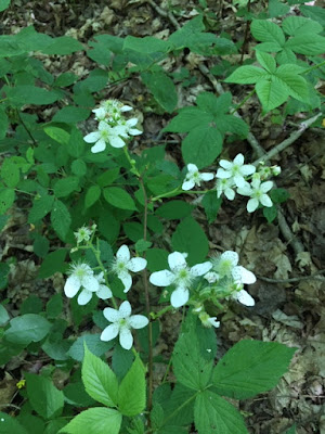
I banked left, following the FLT through very tall grasses and a surprising understory of wildflowers. Then the path curved back to the right (east) and crossed this well-designed bridge over a creek (the bridge having also been built by the Cayuga Trails Club). On the eastern side of the dirt road, my hike took me back uphill into a hemlock-dominant forest in what would soon lead to the most gorgeous part of the walk, in my opinion.
These mature, old hemlock trees provide ample cover for the Shindagin Lean-to and a camping site. Nearby are spectacular tucked-away waterfalls and the wooded gorge created by Gulf Creek. I tell you I've seen many lean-to sites and this is one of the most beautiful I've encountered so far! And this lean-to has a log cabin appearance which I think is fitting for this setting. So I sat here for a ten-minute break, completely immersed.
Not terribly far past the lean-to are these falls:
Not terribly far past the lean-to are these falls:
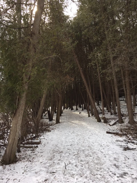
Uneven hills and ravines are the best way I can describe the next segment of trail, with trees sometimes growing out of the ground at irregular angles. About ten to twelve minutes of more hiking brought me to this stand of cedars, a tree not too often found.
Ten more minutes and some mud splashing and one more creek crossing led me to South Road. Now this is the official turn back point of this hike, but, for the curious out there, going a little further on the trail reveals this expansive field to the north. A yellow spread of buttercups. I, at last, turned around here. (One note: the field is on private property so walking into it is not allowed).
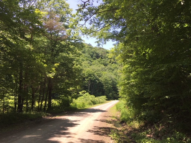
The FLT continues east through more of Shindagin Hollow Forest as well as other lands beyond, but the second half of my day I instead backtracked past South Road, the cedars, the lean-to, and then eventually to Shindagin Hollow Road. But this time I turned right and walked the sun-drenched dirt road in an northwest direction, passing a wetland that would look more at home in the Adirondacks, I think. Well, at any rate, I followed the dirt road back to a jeep lane and a gate where a family of four was out riding on some four-wheel-drive vehicles. The jeep route led me back to the FLT (pictured earlier).
To be certain, there's a bit more to explore in Shindagin Hollow. If I decide to return here in the near future, I would like to venture out on the FLT past South Road and the field views. From what I've seen on maps, there are long, unbroken stretches of trail and forest beyond where I stopped. There are also miles and miles of bike trail loops running along creeksides which look enticing.
I like this place, simply put. It's not hard to find and it has great, well-cared for trails. The immediate area surrounding the woods is also beautiful to drive through, especially when seeing all the small family-run farms.


Comments
Post a Comment